Route 66 travel guides
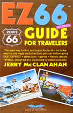
EZ66 Guide for Travelers
All people you meet on the road will tell you that this guide is simply the ultimate reference, the “Bible”. Written and illustrated by the Oklahoma native, artist and historian, Jerry McClanahan, it briefly describes the main attractions near the road but proves particularly useful for its extremely detailed maps of the route and other major cities, as well as a textual and very accurate description of the existing roads to follow -every crossroads is minutely described. This guide proves even more useful as we recall that Route 66 is not identified on all its former length, while being completely untraceable in certain areas...
It can be read from east to west and vice versa. We love its big rings for leafing through it and the freely humorous tone of the author (do not be afraid to be rapped on the knuckles when, for example, we choose to follow the Interstate rather than the historic route ... !)
The "easy" part in its name may not be fully deserved on certain, hard-to-decipher book passages. With this in mind, a GPS can be a smart addition to your equipment.
The guide is published by the "National Historic Route 66 Federation".
Book Description
Precisely mapped route. Detailed plans of main towns.
Short description of numerous attractions in each of the eight states traversed.
Illustrations of some curiosities (black and white drawings).
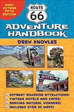
Route 66 Adventure Handbook
We have enjoyed the way Texan photographer Drew Knowles takes us in the wake of his many trips on the "Mother Road". This specialist goes back in time with his old atlas from 1950, to which he constantly refers, as a witness of what the Route was during its glory days. Drew Knowles shares personal memories, aesthetic judgments, sometimes moral assessments. Too bad the pictures do not reveal their colors.
Book Description
Description of attractions in almost all localities traversed by Route 66.
Attractions in some areas removed from the 66.
Numerous black and white photographs.
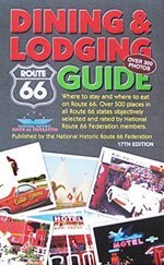
Route 66 Dining & Lodging Guide
Published by the National Federation of Route 66, this guide is the bible of places to eat and sleep along the historic route. The "Dining & Lodging Route 66 Guide" has selected approximately 500 addresses acclaimed by members of the National Historic Route 66 Federation. It contains over 300 photos.
Book Description
Accommodation and food on Route 66
Over 300 photos
Ghost Towns of Route 66
This beautiful book of 160 pages stars from the remains of the cities that men abandoned as Route 66 was gradually decommissioned. Some of them, truly opulent localities, were busy with passing traffic in the heyday of Route 66. Today, the remaining ruins can be occasionally visited with prudence and respect. This is what the full-page, beautiful color and black and white pictures convey, supplemented with many valuable information and maps. A favorite!
Book Description
Guide to ghost towns along Route 66, in each of the eight states traversed.
Texts, a few maps and color photos.
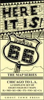
Here It Is! The Route 66 Map Series
Artist and historian Jerry McClanahan (author of the EZ66, Reference Guide on Route 66), has been traveling, mapping, and drawing Route 66 since the 1960s during his first trips to the back of his parents' car. It has since become one of the best specialists in the historic route, an active member of the National Historic Route 66 Federation based in California.
Book Description
Series of 8 shots mapping Route 66's path in each of the eight states through which it passes. Illinois, Missouri, Kansas, Oklahoma, Texas, New Mexico, Arizona, California.
